In Tucson we’re always looking for nearby options to escape the heat. I keep a close eye on Arizona routes, scouring Bikepacking Roots, Bikepacking.com, and Dirty Freehub for any new additions. Last year a friend sent me a link to El Lobo Lupus, “the Alps of Arizona”. The route was designed by a high school science teacher at the Grand Canyon, Forrest Radarian, who is also an avid cyclist and backpacker. The route has since been highlighted in the Bikepacking Roots collection. It was not just the high elevation that called to me, but also Forrest’s detailed inclusion of information about the ecology and wildlife of the region. Spoken like a science teacher.
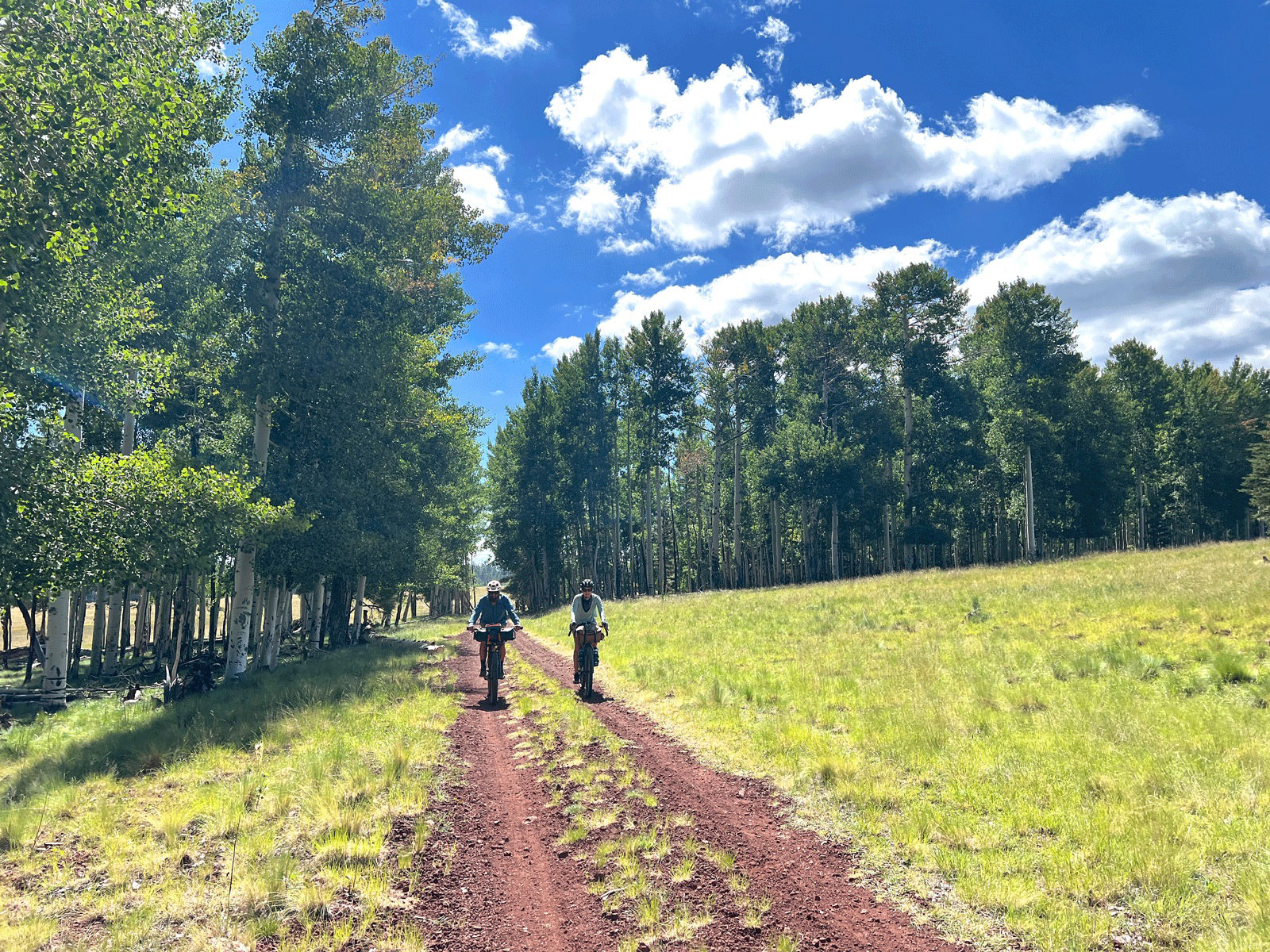
My friend and I drove up last summer, selecting a 250 mile section of the route that formed a loop that could be ridden over 5 days. The route allows for all sorts of sub-sections and smaller loops, diving in and out of mountainous valleys with well timed resupply options. We planned our trip for the most advisable season, but an unusually hot June had us slugging through days in the 90s, yet happy to be out of the 110+ degree weather in Tucson. Epic climbs, thick forest, and abundant wildlife sightings left me wanting more. I returned to Tucson and shared my excitement with the Campfire crew, suggesting we check out portions of the ride that could be ridden as a smaller loop. Hence Toby put together the Lobo Lupes loopy Upper Lollipop, assigning it as our September advanced bikepacking trip for the elevation gain and desire to catch fall colors. The loop was primarily sections of the original route that I had not yet ridden and I was thrilled when they invited me to tag along.
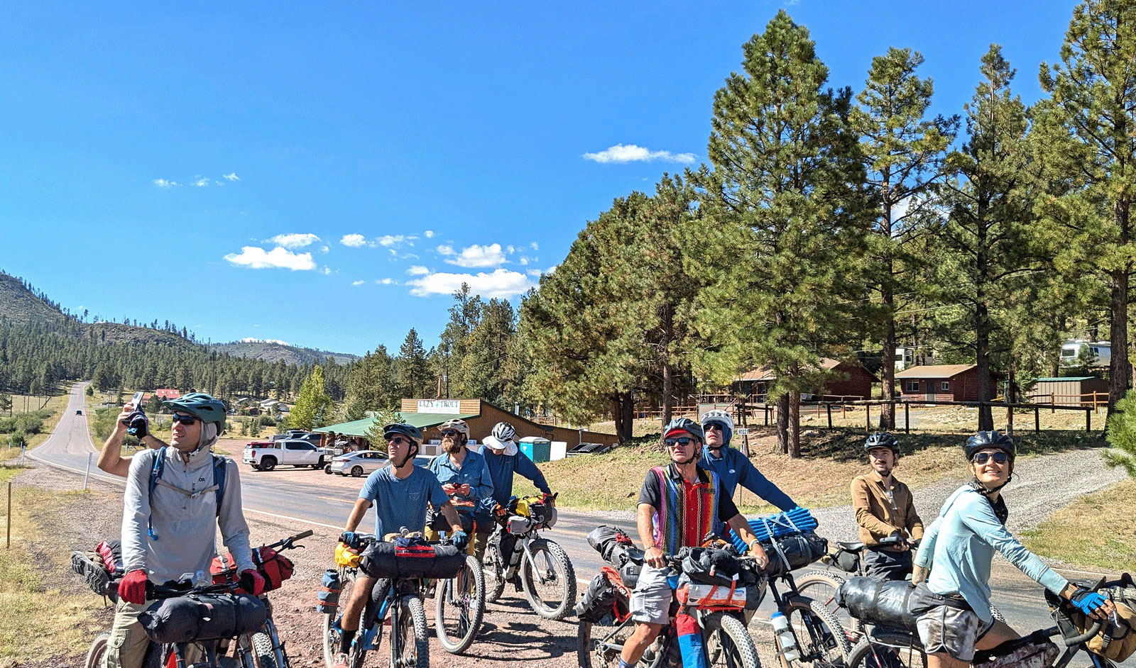
Our route would leave from just outside Show Low, passing nearby the Reservation of the White Mountain Apache. The White Mountains are the current and traditional home to the White Mountain Apache, San Carlos Apache, and Pueblo of Zuni, amongst other tribes. For more information on ongoing struggles to protect sacred sites of the San Carlos Apache visit this link. Tim, our longtime Campfire trail angel, offered to head up early to snag us a camping spot in the area so we could have an early departure time. Most of us rolled in late at night so introductions didn’t start till the morning as we blurry-eyed packed up our bikes.
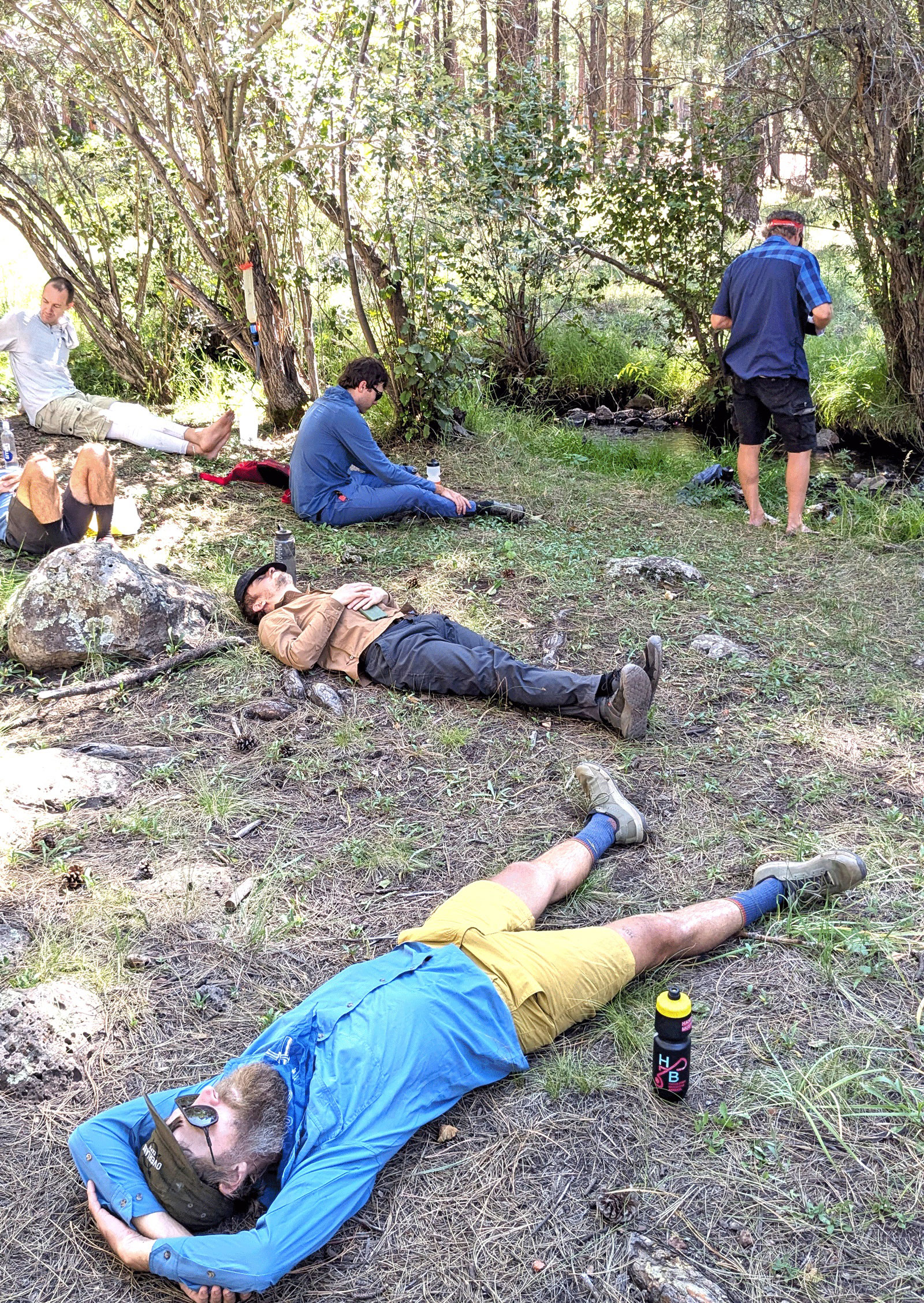
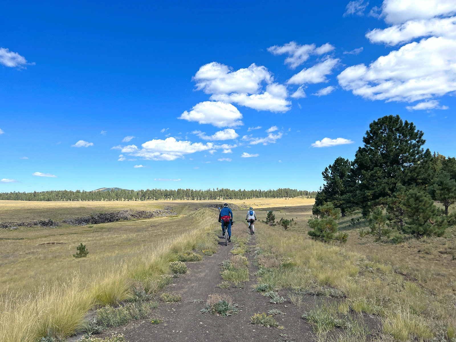
Day one was mixed terrain, heading out on a long highway stretch. After battling some wind we took our first extended break at the Vernon Community Park to snack and fill water. By this point we were all craving some dirt. Luckily we soon found it on some fast, hard packed dirt roads, and began our climbing. We thought we might camp at the next water access, Mineral Creek, but hit it early enough for it to be our lunch and lounge spot instead. Despite the spooky animal skulls hung from the trees, I would say this would make for an excellent camp. We rode on until we were running low on daylight and water, after finding one source all dried up. Jason, still with extra energy to burn, rode ahead to check out some side roads, eventually leading us to the perfect unexpected camp with a stream that pooled up enough for a quick bird bath.
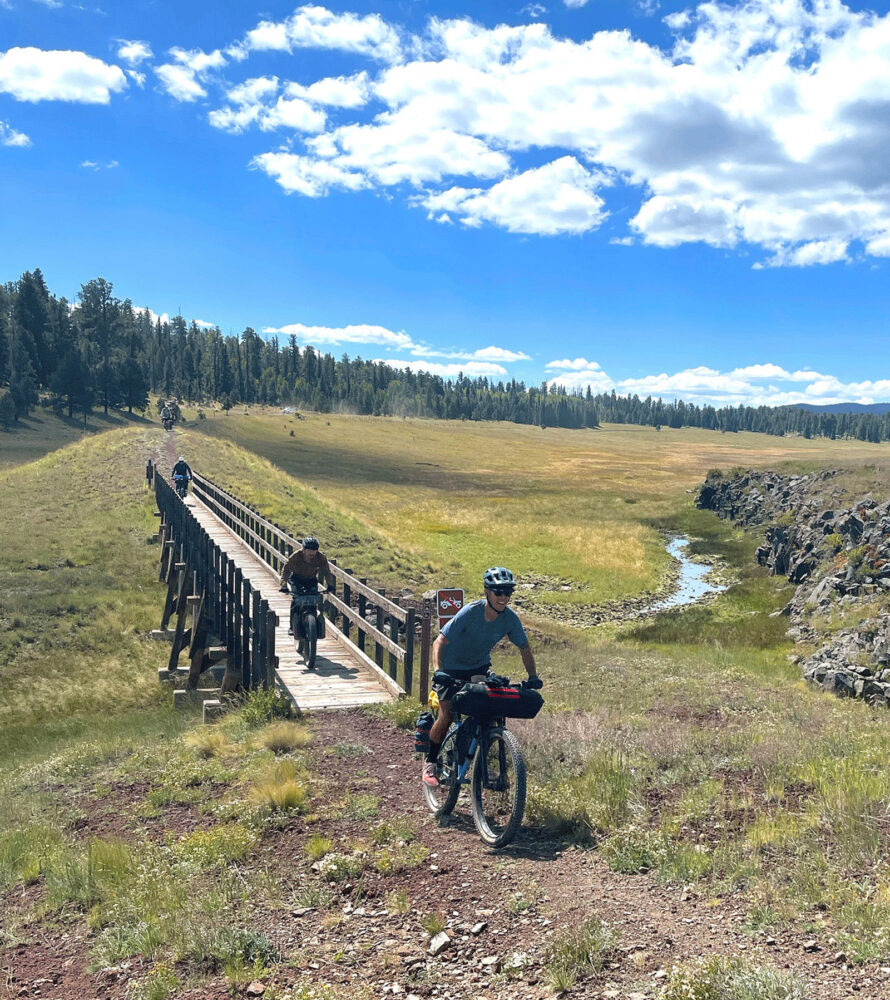
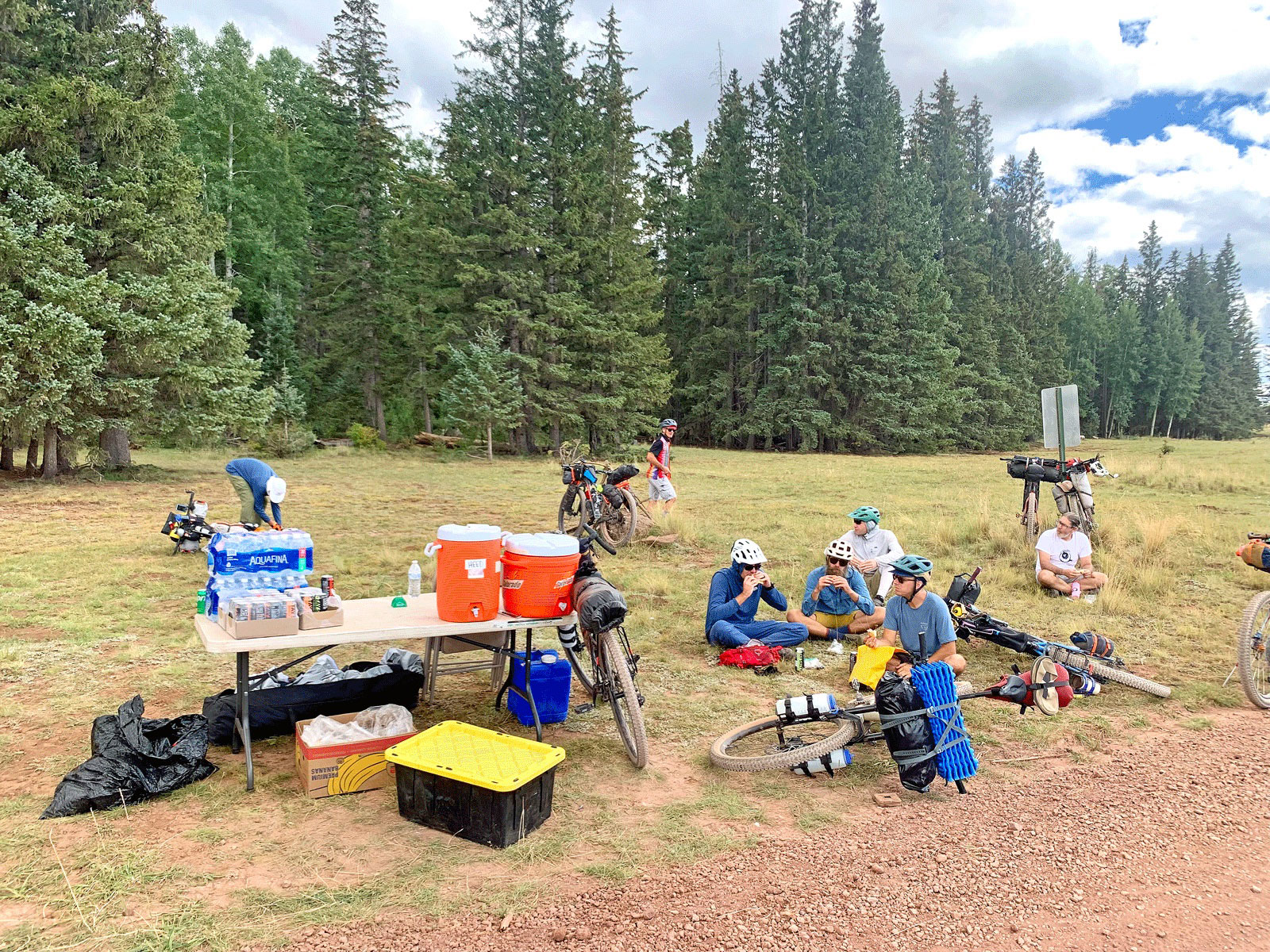
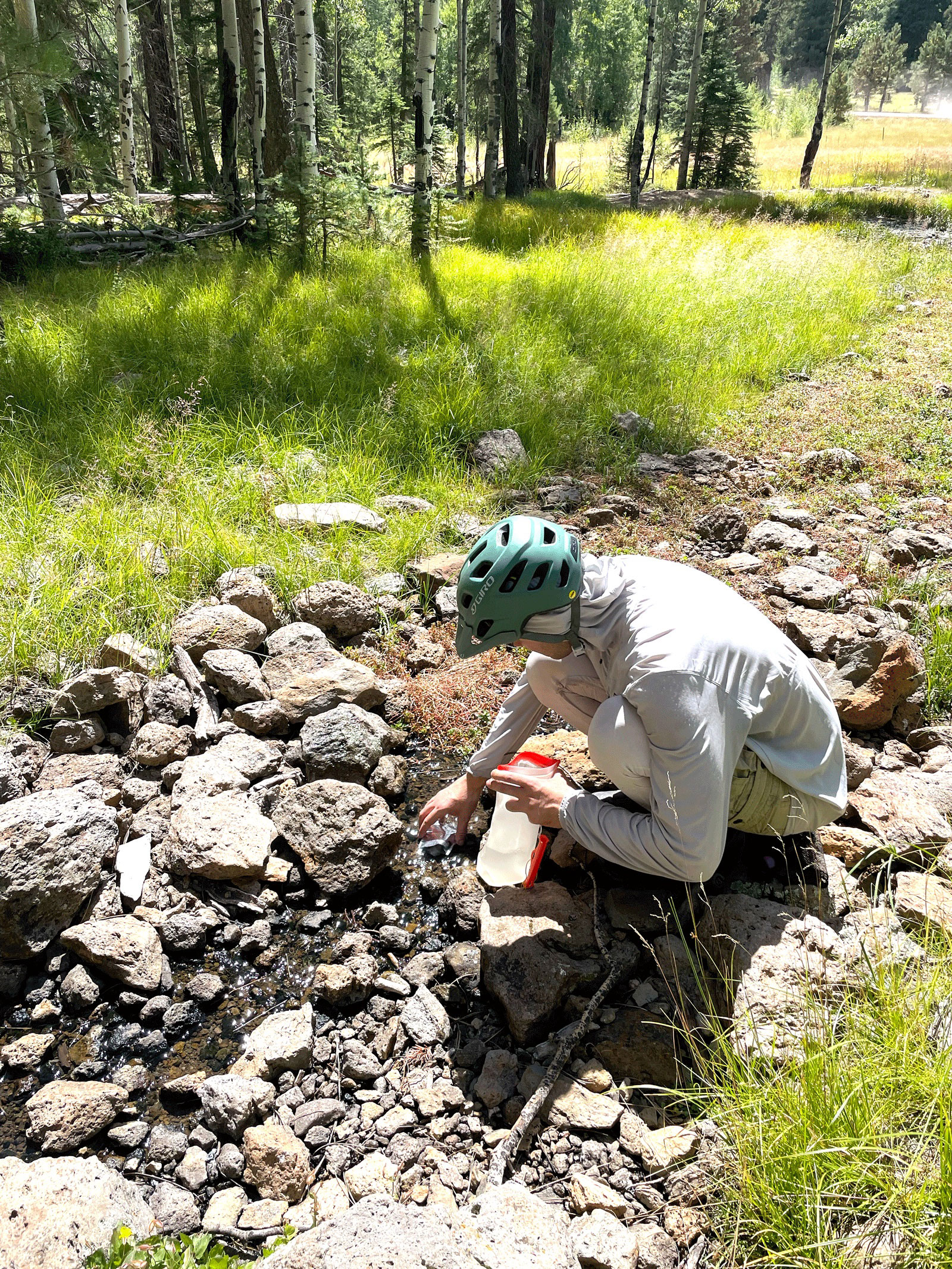
The next morning we dropped into the town of Greer where we found Tim on his motorcycle at the Lazy Trout Market, out for a ride or possibly to check in on us. Rolling out of town we paused to watch a beautiful osprey circling above. The climb out of Greer is one of the longest, but you are rewarded up top by a section on the Apache Railroad Trail. The route eventually diverged from the trail but three of our riders were not yet ready to leave the single track, so we met up down the road at Beehive Spring. The spring had just enough trickle for us to get creative and fill our bottles before finishing our climb to the high point of the route at 9562’. We were in for an unexpected treat as we rolled up on an aid station for The Pinewood Showdown, an inaugural gravel race that was held the same weekend. From the trash and our timing we ascertained that all riders had already passed this point, so we helped ourselves to a banana and energy drink hiding some tips for the event clean up crew.
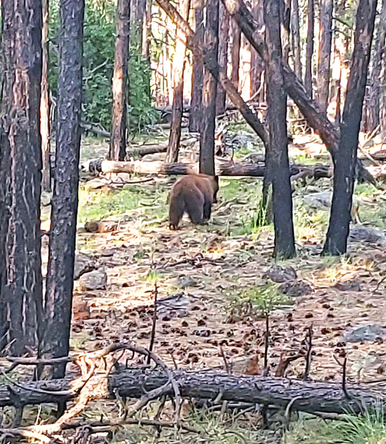
We wrapped up the day with some fast descents until we found another side road that led us to more great camping. Elk hunting season had just opened and a passing hunter informed us there had been a cow and calf spotted in the area. Expecting to see elk, we were surprised when a black bear passed through the edge of camp during setup. Luckily my rope was strong enough to set up a bear line that hoisted the whole group’s food up into a tree. Read about it in Josh’s Tidbits.
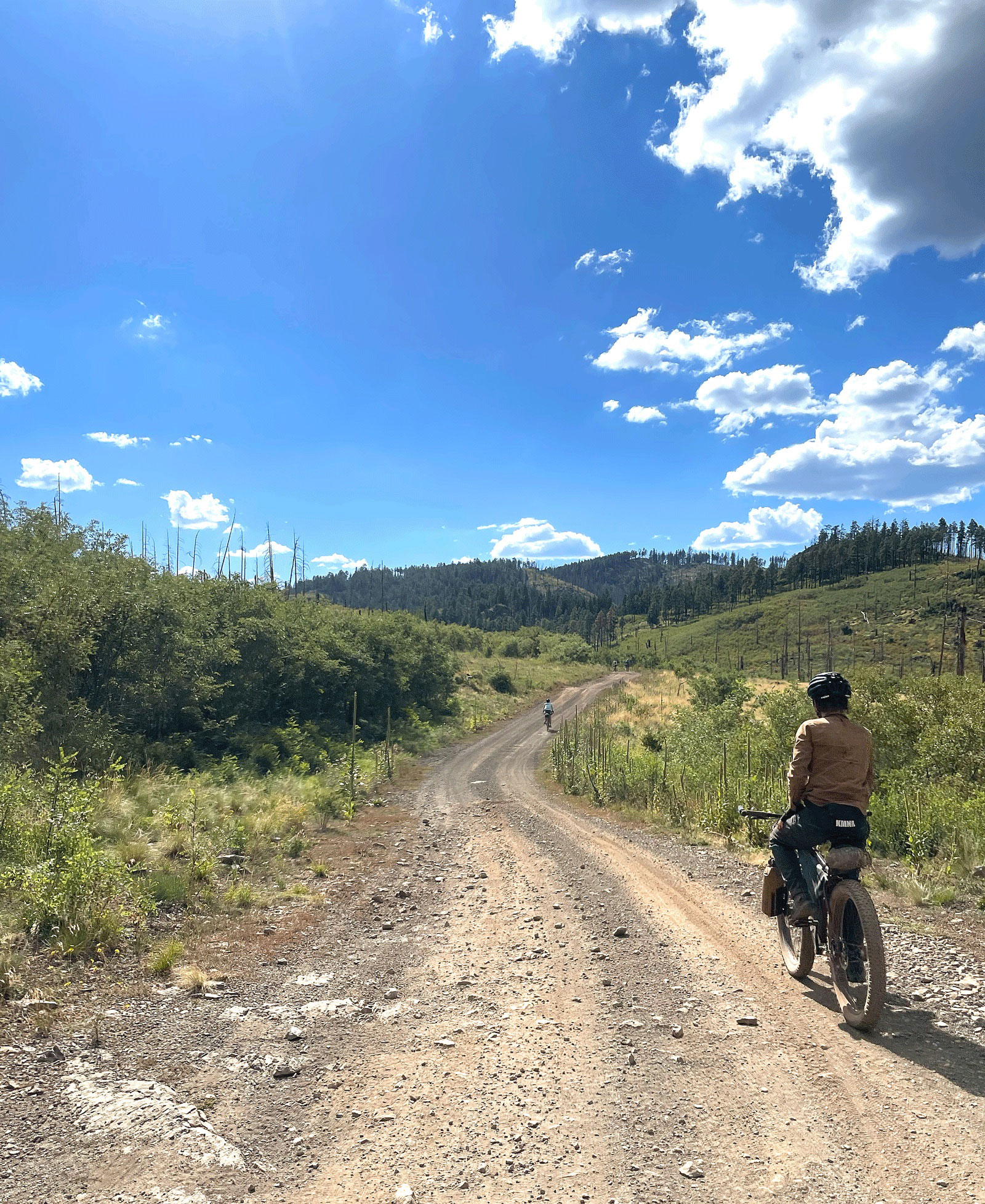
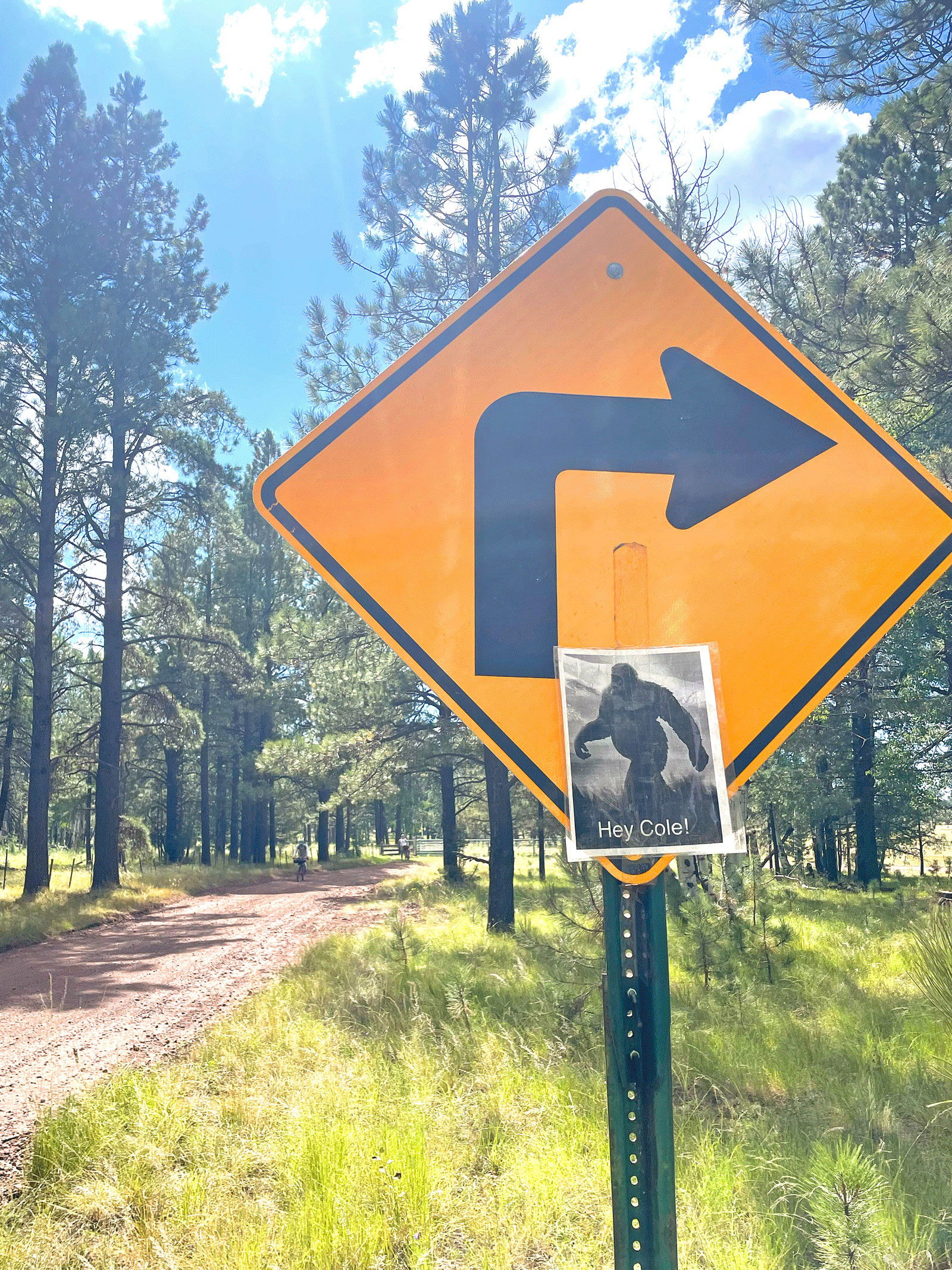
The final day we passed through an area of the White Mountains that I’m somewhat familiar with from visits to some of my favorite mountain bike trails, such as Los Burros that intersected our route, realizing too late that we could have hopped onto the Chipmunk Springs connector to add a little more single track to our ride. We dropped down into Pinetop with plenty of food options but given how close we were to the cars the crew was eager to finish the route first and hit up lunch on the way back to Tucson. But not before Toby finally found the allusive Big Foot, which we had seen signs of along our ride.
Forrest has recently redone his webpage, offering even more information and incorporating feedback. Thank you again to all the responsible route makers out there encouraging us all to ride respectfully.